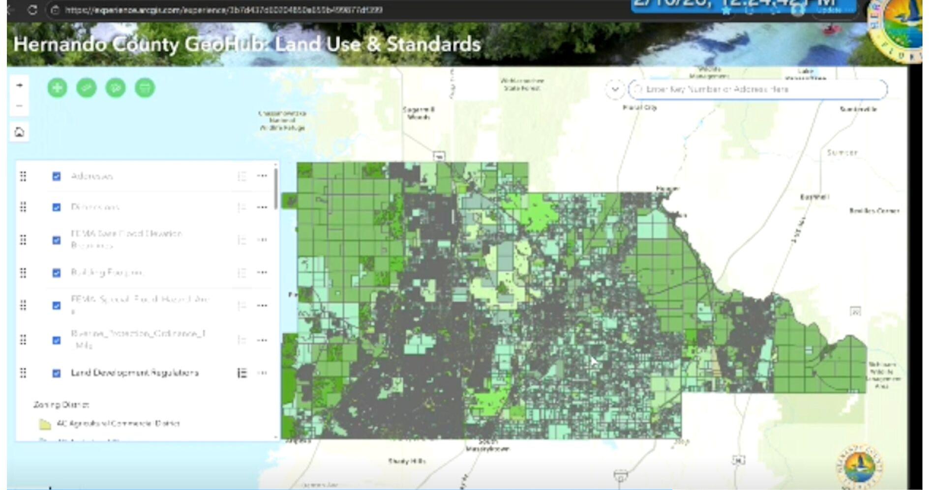
Hernando County has developed an interactive mapping platform called GeoHub, which allows residents and professionals to look up property information, zoning details, and more. The platform was presented by County Administrator Jeff Rogers and Sabrina Dugan of SwiftGov on February 10.
The GeoHub platform provides detailed maps of land use and standards, as well as road networks in Hernando County. It will include features such as setbacks, building heights, maximum building heights, permitted uses, FEMA overlays, and areas where the Riverine Protection Ordinance is in effect. The platform was developed with input from over 162 people who registered to participate in community roundtables and met with county staff.
The platform is designed to be user-friendly and accessible to both residents and professionals in the construction and building industry. It will be particularly useful for developers, engineers, Realtors, and residents looking for information on property and zoning.
Some of the key features of GeoHub include:
- Land use and standards map
- Road network map
- FEMA overlays
- Riverine Protection Ordinance areas
For more information on GeoHub, visit the Hernando County website or contact the county administrator’s office.
Originally reported by Suncoast News – Brooksville
Sources: Suncoast News – Brooksville